Chapter 12. Introducing the LAS Dataset Toolbars
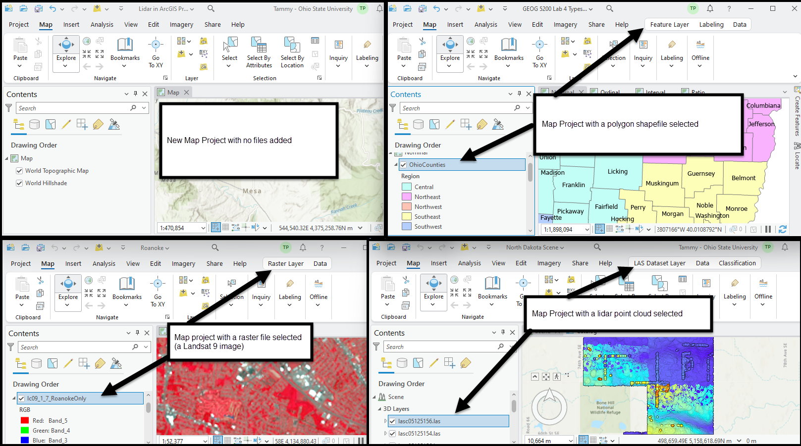
Various geoprocessing tools are available in any GIS to support vector, raster, or lidar point cloud data operations. With ArcGIS Pro®, many of these tools are context-sensitive—they activate when a vector, raster, or lidar point cloud has been selected in Contents. The tools associated with the selected data type appear on the title bar, accompanied by one or more tabs of its own, grouped within the new toolbar.
This chapter will first identify the toolbars activated with a specific data type (Figure 12.1). Then, the chapter reviews the shortcut tools available for LAS datasets. The tools are discussed briefly here; use of the tools is covered in later chapters.
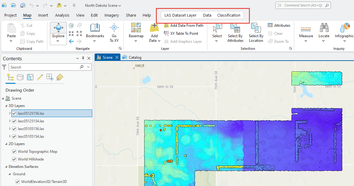
Open the Local Scene that was created in the last chapter Chapter 11. Exploring LAS Dataset Properties. Select the first layer in the Contents pane—the LAS Dataset Layer toolbar is enabled. Three tabs are available under this toolbar—LAS Dataset Layer, Data, and Classification (Figure 12.2).
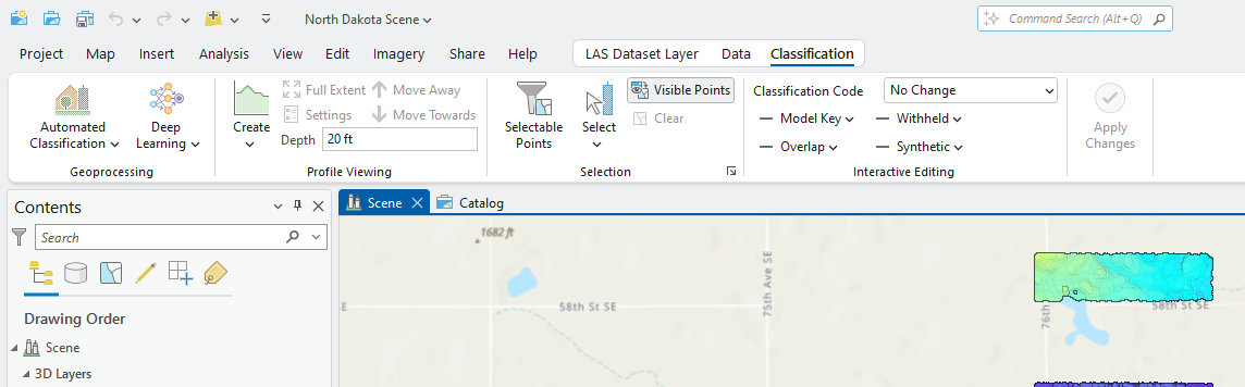
Select the Classification tab. These groups of tools are for classifying individual points in the point cloud (Figure 12.3). They will be discussed in detail in the chapters on classifying a lidar point cloud.
Select the Data tab. Three groups are displayed—Manage LAS Data, Extract Features and Analyze (red boxes in Figure 12.4).
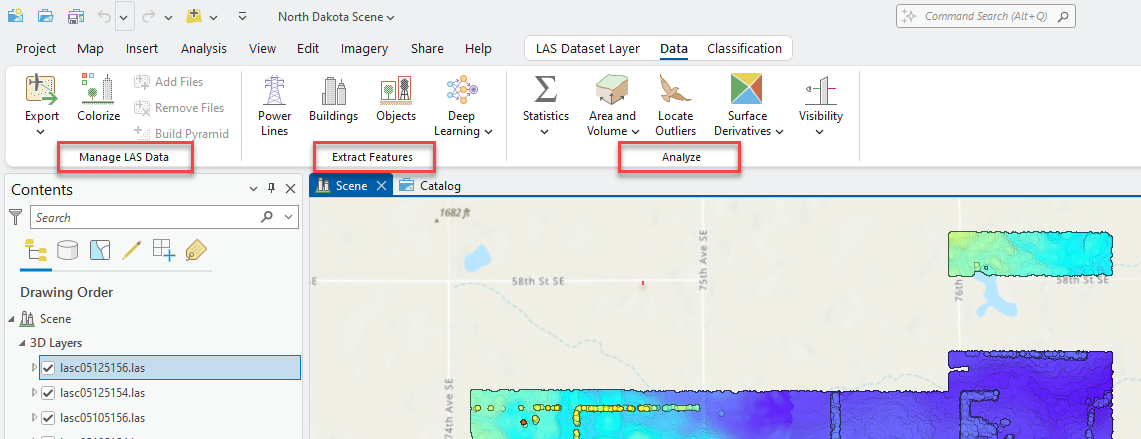
These groups are categories of Geoprocessing tools (Figure 12.5).
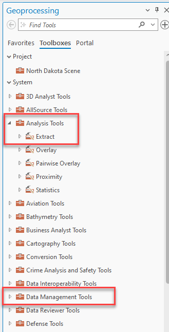
Many of these operations will be covered in later chapters.
Now select the LAS Dataset Layer tab (Figure 12.6).
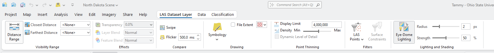
The groups of tools found in Visibility Range, Effects, Drawing, Filters, and Point Thinning are discussed in more detail in later chapters. This ends the introduction to the LAS Datasets Toolbars. The next few chapters will introduce specific tools and utilize these tools extensively.
