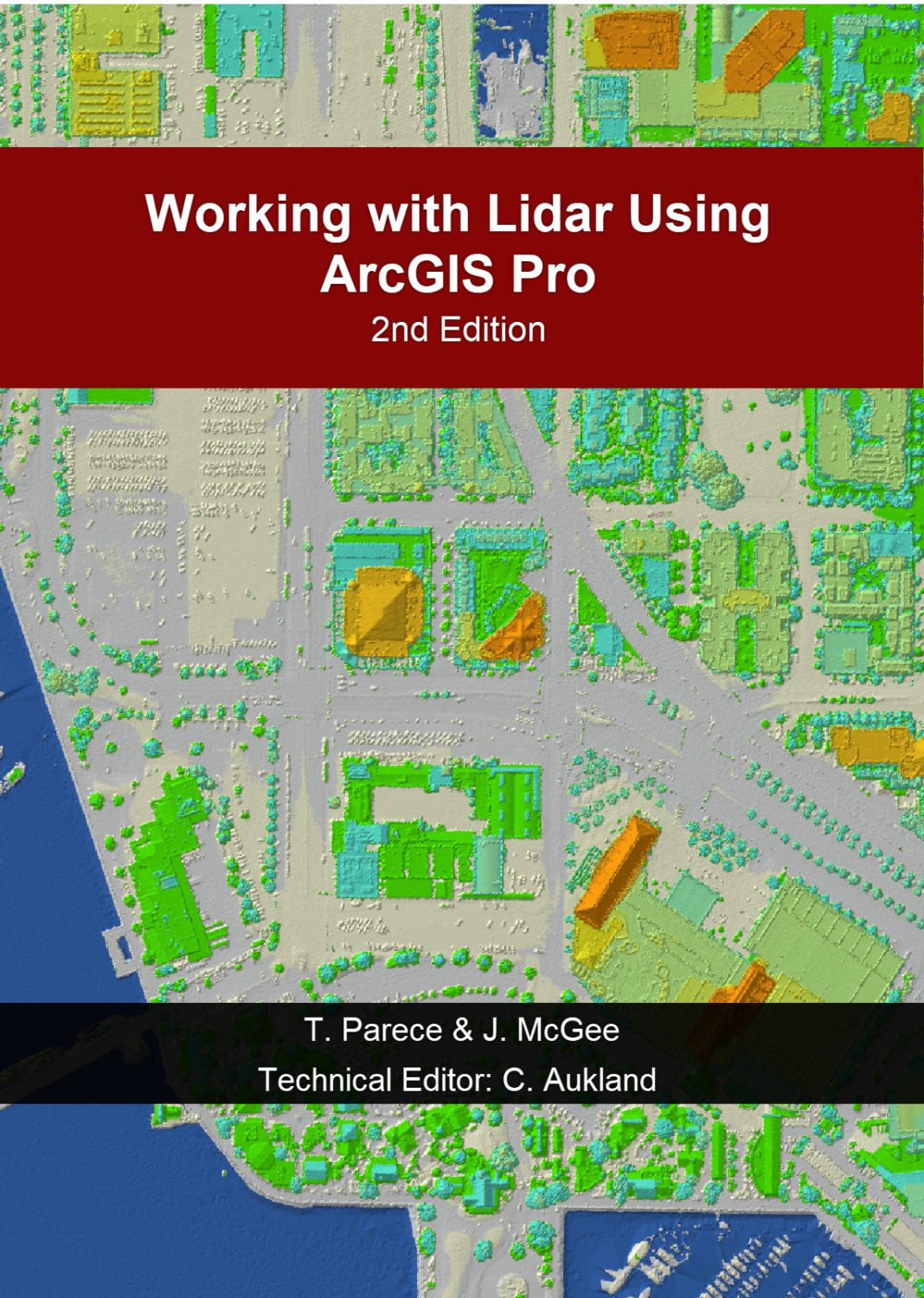
Book Title: Working with Lidar Using ArcGIS Pro (2nd Edition)
Edited by Cherie Aukland

Book Description: Working with Lidar Using ArcGIS Pro can be used to supplement an introduction to Lidar course (or a general 'geospatial' course) at the community college or university levels. This resource can also be used as a step by step tutorial for self-paced learners working with nonprofits/NGO's, local/state/federal government employees, or the private sector. The book utilizes publicly available lidar data acquired from the USGS and other local sources. Users can easily substitute their own lidar datasets for a different area of interest. This text does not cover the theory behind lidar, but serves as a hands-on practical tutorial demonstrating how to process lidar data using ArcGIS Pro software.
Contents
Book Information
License
Working with Lidar Using ArcGIS Pro (2nd Edition) Copyright © 2025 by Virginia View, its partners, and other participating AmericaView consortium Members is licensed under a Creative Commons Attribution-NonCommercial-ShareAlike 4.0 International License, except where otherwise noted.
Subject
Educational: Geography

