Chapter 3. Adding Vector Shapefiles
This chapter provides an introduction to adding vector shapefiles to ArcGIS Pro®.
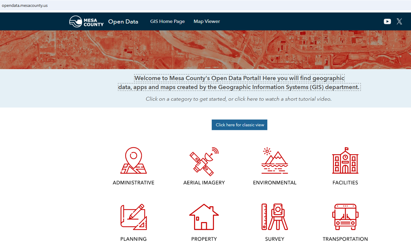
First, obtain some vector shapefiles from the Mesa County Colorado GIS site at Mesa County Open Data[1].
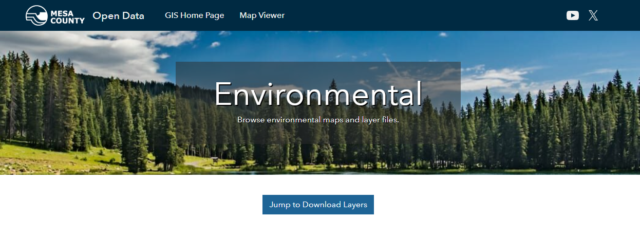
Select the Environmental category, then Jump to Download Layers in the Environmental window. (Figure 3.2).
This provides a list of all environment related Mesa County Colorado GIS data available for download (Figure 3.3).
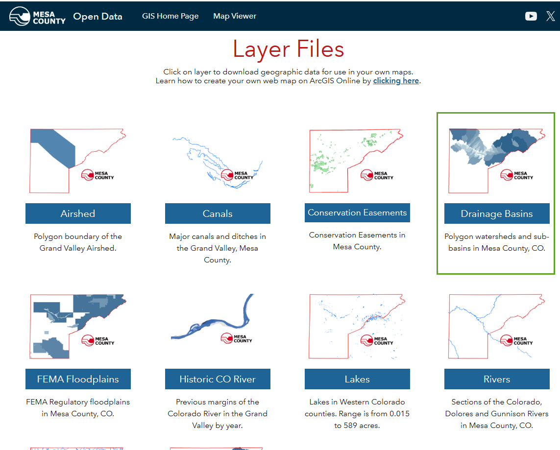
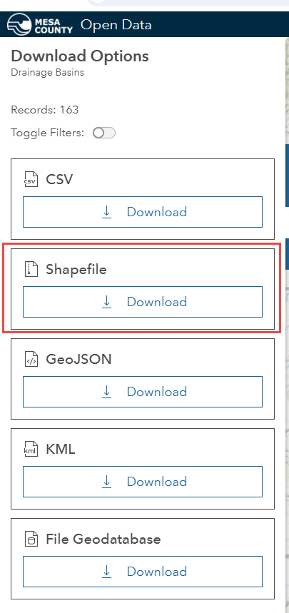
Select Drainage Basins (indicated by the green box in Figure 3.3), which takes you to a page that provides a Summary, metadata (View Full Details) and Download options. Select Download and, on the menu that appears, choose Download under the Shapefile option (Figure 3.4).
Save the downloaded files in a folder on your computer where you can find them. Once the download is complete, return to the Mesa County Open Data Home page and choose Facilities > Download Layers > Communication Towers > Download and download the shapefile. Finally, on the home page again, download the GVT Bus Routes shapefile from the Transportation category.
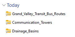
Once finished downloading you will have three shapefiles that are zipped—a point, a line and a polygon. (Figure 3.5).
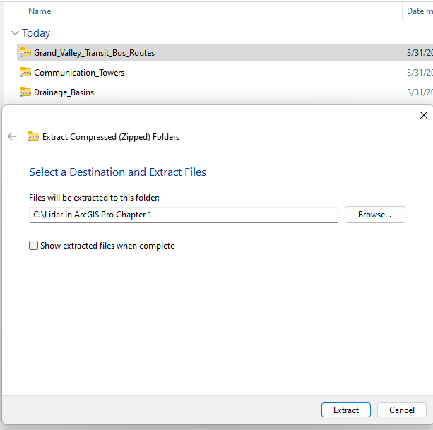
Before you can use this data, you must extract it from the zip files. Use your preferred program to unzip the files, or in Windows, right-click each file, choose Extract All and save them to your computer. Save them all to the same folder. Where you save them is your choice, or if you are in a class, per your course instructions (Figure 3.6)
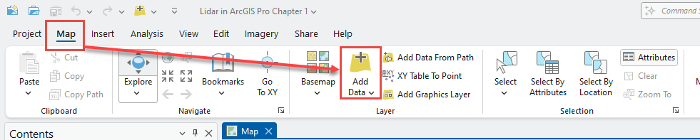
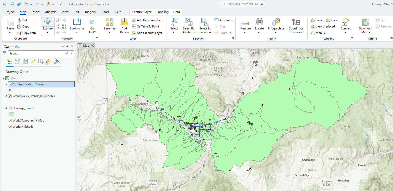
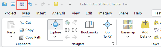
To add the shapefiles downloaded from the Mesa County Colorado GIS website, go to the Map tab on the ribbon, and choose Add Data from the Layer group(Figure 3.7).
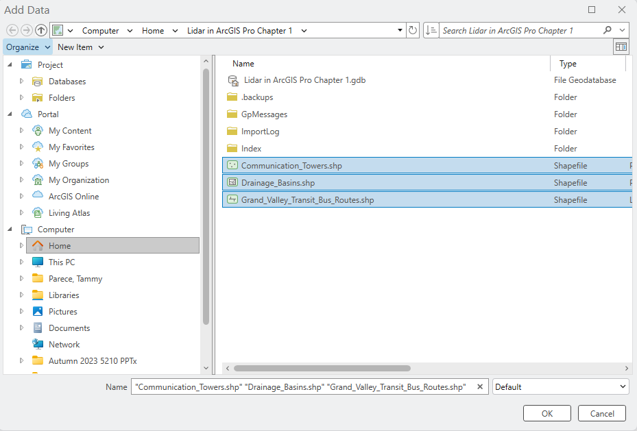
In the Add Data dialog (Figure 3.8), navigate to the location of the downloaded shapefiles and add all three files (hold down control and click on each file’s name). Click OK.
ArcGIS Pro® automatically zooms to the location of the data. The default drawing order is for point layers to be drawn above line layers, and line layers are drawn above polygons (Figure 3.7).
Save the project frequently! Use Save (or Ctrl-S), shown in Figure 3.10, to save the project.
The next chapter will explore the attribute tables of these vector shapefiles. Chapter 5. Vector Symbology will demonstrate working with vector symbology.
- https://opendata.mesacounty.us/ ↵
